“Lost city” is one of archaeology’s most seductive phrases.
It suggests a vanished civilization, a forgotten location and perhaps a spectacular rediscovery.
But archaeologists rarely recover a city as if it were a treasure chest waiting beneath the ground. More often, they reconstruct a place from fragments: foundations, pottery, roads, inscriptions, environmental evidence and layers of occupation.
What makes a city “lost”?
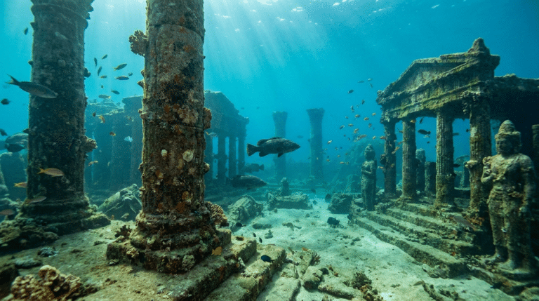
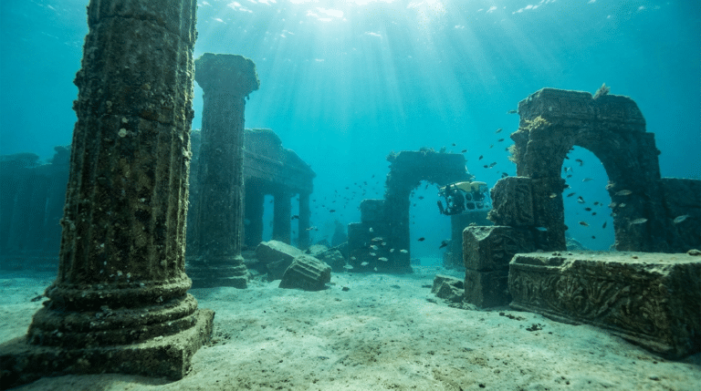
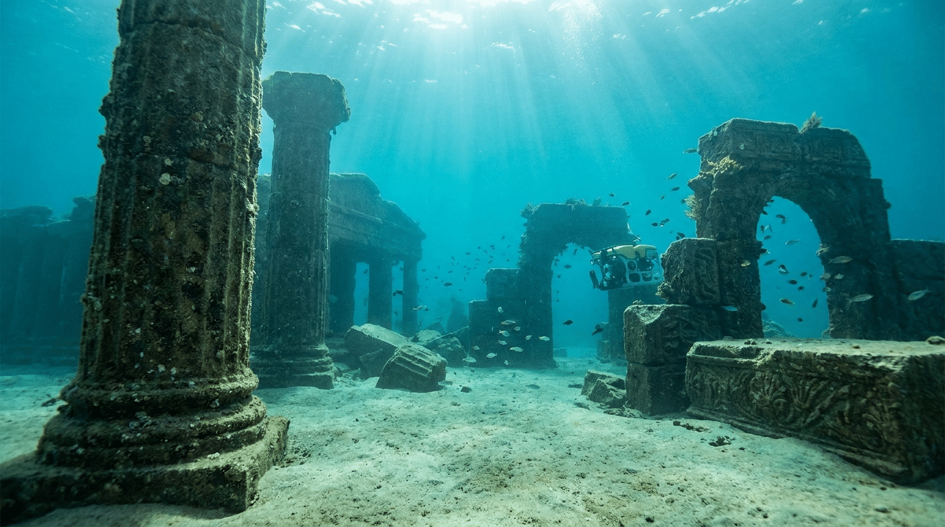
A city can disappear from written memory while its ruins remain visible. Another can be buried beneath soil, sediment or vegetation. A coastal settlement can end up underwater as the shoreline changes.
“Lost” therefore describes a change in knowledge, not necessarily physical disappearance.
Archaeology is a reconstruction process
Excavation exposes only a fraction of a site. Archaeologists combine what they uncover with remote sensing, geophysics, satellite imagery, historical texts and environmental studies.
The goal is to reconstruct how the settlement changed through time.
Why spectacular discoveries can mislead
A dramatic object can attract attention, but a single artifact rarely explains an entire city.
Context matters. Where was the object found? What was beside it? What layer did it come from? Was the layer disturbed?
Without context, even a genuine ancient object can become difficult to interpret.
Technology is changing what archaeologists can see
Ground-penetrating radar, aerial photography, LiDAR and satellite imagery can reveal buried structures without immediately excavating them.
These methods are especially useful for landscapes where vegetation or modern development hides archaeological remains.
Why some cities remain unidentified
Ancient names changed. Different languages used different names. Written records can be incomplete or misleading.
A site may be known archaeologically but not securely connected to the city described in a historical text.
Environment can erase clues
Rivers move. Coastlines shift. Deserts expand. Forests cover ruins. Earthquakes collapse buildings.
Human activity can also destroy or recycle ancient structures.
Archaeology therefore reconstructs the past from evidence that has already been filtered by thousands of years of environmental and human change.
The real challenge is knowing what the evidence cannot say
Archaeologists can sometimes determine where a settlement stood, when it was occupied and how people used parts of it.
They may not know its exact population, political structure or reason for abandonment.
Good archaeology makes those limits visible rather than filling them with invented certainty.
The deeper mystery
The most fascinating “lost cities” are not necessarily those with the most dramatic legends.
They are the ones where evidence forces us to rebuild a vanished world piece by piece.
A city is recovered not when someone finds a wall, but when enough independent clues allow us to understand what happened there.
Dating Matters as Much as Discovery
Finding walls does not automatically identify a city or explain when it flourished. Archaeologists build chronology from stratigraphy, pottery, inscriptions, coins, organic remains and scientific dating where appropriate. The relationship between layers can be as informative as the objects themselves.
A structure from one period may be reused by another community centuries later. Without chronology, those layers can easily be blended into a single fictional snapshot.
Abandonment Is Not Always Collapse
A city can be abandoned for many reasons, and “collapse” is only one possibility. Population may move because a river changes course, trade becomes less profitable, political authority shifts, disease spreads, climate conditions change or another settlement becomes more attractive.
Sometimes people leave gradually. Sometimes buildings are reused, dismantled or incorporated into later settlements. Archaeology can reveal these transitions even when written history is silent.
The Best Discoveries Often Change the Question
When archaeologists identify a long-lost settlement, the result is rarely the end of the mystery. The discovery can raise larger questions about trade, migration, climate, political organization and connections with neighboring communities.
That is why the most valuable “lost city” discoveries do more than put a name on ruins. They change the map of what historians thought was possible.
Texts Provide Clues, Not Coordinates
Ancient texts can describe rulers, rivers, distances, temples and neighboring settlements, but they rarely function like modern GPS data. Names change between languages and periods, distances may be approximate, and a writer may describe a place from a particular political or religious perspective.
Archaeologists therefore compare textual clues with physical evidence. A candidate site becomes more convincing when its chronology, geography, architecture and material culture align with the independent evidence.
Buried Does Not Mean Destroyed
A city can disappear from historical memory while its physical remains remain close to the surface. Another can be buried under meters of sediment. In river valleys, repeated flooding can cover streets and buildings; in coastal areas, changing shorelines can move the relationship between a settlement and the sea.
Modern development creates another layer of difficulty. Ancient stone can be reused, agricultural activity can disturb archaeological layers, and later settlements can be built directly above earlier ones. The archaeological record is therefore not a frozen photograph of the past.
Remote Sensing Has Changed the Search
Archaeologists can now investigate landscapes before opening a trench. Satellite imagery, aerial photography, LiDAR, magnetometry and ground-penetrating radar can reveal patterns associated with walls, roads, canals and buried structures.
These methods do not magically identify a lost city. They produce hypotheses that excavation and dating can test. Their greatest advantage is that they allow researchers to see relationships across an entire landscape rather than treating each buried building as an isolated object.
How chronology turns ruins into history
Finding impressive ruins is only the beginning. Stratigraphy, pottery, inscriptions, coins, organic remains and scientific dating can establish when different layers were created and reused.
A building may have been constructed in one period, modified in another and abandoned much later. Without chronology, those phases can be blended into a single story that never actually existed.
Why decline can be gradual rather than catastrophic
A settlement can decline because a river changes course, trade routes shift, political authority moves, disease spreads, environmental conditions change or residents gradually relocate. Sometimes people leave while buildings remain standing; sometimes later communities dismantle those buildings and reuse the materials.
That is why archaeologists distinguish between abandonment, transformation and collapse. A “lost city” is often a story of transition rather than a single catastrophic disappearance.
The Most Interesting Discoveries Change the Map
When a previously unknown or unidentified settlement is documented, the discovery can alter ideas about trade, migration, political organization and population. It may show that a region was connected to distant societies or that an apparently empty landscape once supported complex communities.
The real achievement is therefore not finding a spectacular ruin. It is assembling enough independent evidence to explain how that place fit into the larger human landscape.
Curiosity Publication by Aadvik Agastya
Explore More on Quropedia
- Why Does the Sahara Have Ancient Wet Periods?
- How Did Ancient People Navigate Without GPS?
- How Did Ancient Cities Manage Clean Water?
Sources & further reading
Have a question about this topic?
Join fellow Qurons on the Quron Forum to ask questions, challenge ideas, share discoveries and explore further.
Discuss on Quron Forum